

Cairns South State Development Area
The Cairns South State Development Area (SDA) was established to facilitate economic growth and diversification of the Cairns economy as well as job creation to support the long-term needs of the Cairns region.
Declared in November 2018 and varied in February 2020, the 1159-hectare Cairns South SDA provides land for regionally significant industrial development over two separate areas.
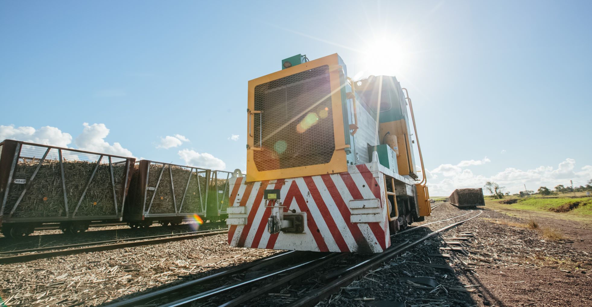
The northern part of the Cairns South SDA is located east of the Bruce Highway between Edmonton and Gordonvale at Wrights Creek and will enable the development of industries that require large blocks of land, extended operating hours and separation from sensitive land uses. Being adjacent to the Bruce Highway and North Coast Line, this part of the SDA offers a key opportunity to support anticipated trends and growths in the rail freight sector, including increased volumes of freight and longer trains.
The southern part of the SDA is located adjacent to the Mulgrave Mill in Gordonvale and will support future diversification plans for the Mulgrave Mill, including industrial development opportunities that value-add to the sugar refining process.
Benefits of the Cairns South SDA
The Cairns South SDA provides benefits to business and industry looking to invest in Queensland such as:
- locational advantages including direct access to the North Coast Line and Bruce Highway
- efficient use of land, including opportunity for:
- facilitation of intermodal and freight related development
- large-scale regionally significant industrial development
- bio-industrial development to co-locate with the Mulgrave Mill
- proximity to employment catchments and major support services
- streamlined assessment processes for applications and requests for development in the SDA
- regulation of material change of use, reconfiguring a lot, and operational work (in certain circumstances) to improve development coordination and reduce the regulatory burden on proponents
- best practice land-use planning and management – ensuring land and infrastructure are attractive to potential investors.
A significant portion of land in the SDA across both areas is intended for the ongoing cultivation of sugar cane and supply to the Mulgrave Mill, to act as a buffer for industry, protect the Mulgrave Mill from the pressures of urban encroachment, or for environmental management purposes.
The Cairns South SDA supports economic growth and employment opportunities in the Far North Queensland region in a way that considers environmental, cultural, and social issues as well as existing land uses and surrounding infrastructure.
-
The Cairns South SDA Development Scheme (
 536 KB) is a regulatory document that controls planning and development in the Cairns South SDA. It was approved by the Governor in Council in March 2020.
The development scheme contains a development assessment framework for making, assessing and deciding applications and requests relating to development in the Cairns South SDA. The most common of these is an SDA application for a material change of use.
The development scheme is supported by a public consultation policy (
66 KB) that provides information on matters the Coordinator-General may consider when determining whether public consultation of an SDA application is required. -
The Cairns South SDA regulation map (
526 KB) defines the boundary of the Cairns South SDA.The Cairns South SDA development precincts map (
682 KB) forms part of the development scheme and identifies the precincts in the Cairns South SDA.Industry precincts include land designated for:
- intermodal transport
- rail dependent industry
- high impact industry
- medium impact industry
- industry supporting the Mulgrave Mill and sugar industry more broadly
- transport and support services related to sugar processing and cane transportation.
Other precincts in the Cairns South SDA provide for:
- infrastructure corridors to accommodate linear infrastructure including water, wastewater, electricity, transport and telecommunications
- continued operation of the Meringa Sugar Experiment Station
- rural uses
- environmental management.
-
Since being declared, the boundary of the Cairns South SDA has been amended. In February 2020, the Cairns South SDA was varied to include an additional 303 hectares of land around the Mulgrave Mill in Gordonvale.
View the previous version of Cairns South SDA regulation map:
- Cairns South SDA regulation map 2018 ( 888 KB)
- Cairns South SDA regulation map 2018 (
-
Most land within the Cairns South SDA is currently under freehold land ownership, with many parcels owned by individual landowners.
At this stage, there are no plans for the Coordinator-General to acquire land in the Cairns South SDA.
For more information on landholdings and future development potential contact the Office of the Coordinator-General on 1800 001 048 or via sdainfo@coordinatorgeneral.qld.gov.au
Further information
- Summary of public consultation Cairns South SDA - March 2020 ( 187 KB)
- Cairns South SDA Development Scheme fact sheet – March 2020 ( 112 KB)
- Cairns South SDA – potential expansion and draft development scheme fact sheet – September 2019 ( 2.3 MB)
- Potential Cairns South SDA – Overview July 2017 ( 13.4 MB)
For further information on the Cairns South SDA, contact the Office of the Coordinator-General on 1800 001 048 or via sdainfo@coordinatorgeneral.qld.gov.au
For further information on SDAs, refer to our general fact sheets and guidelines.
Last updated: 26 May 2023