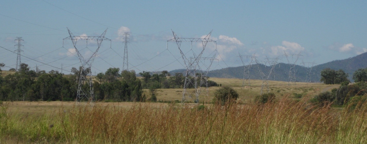
Stanwell-Gladstone Infrastructure Corridor State Development Area
The Stanwell-Gladstone Infrastructure Corridor State Development Area (SDA) supports the establishment of multiple underground pipelines.
Declared in 2008, the approximately 90-kilometre-long corridor links Stanwell to Gladstone.
With an average width of 100 metres, the corridor can accommodate up to seven underground pipelines for numerous purposes such as water (treated, raw or sea), gas, mineral slurries and telecommunication cables.

Benefits of the Stanwell-Gladstone Infrastructure Corridor SDA
The Stanwell-Gladstone Infrastructure Corridor SDA and its associated development scheme:
- support the delivery of essential services throughout the region to serve key resource, resource processing and support industries
- enable the efficient transportation of industrial materials throughout the area
- provide guidance and development certainty to industry
- ensure efficient use of the land
- discourage project-specific pipeline routes outside the designated corridor
- reduce the disruption of investigations and construction on individual landowners, surrounding communities and the environment that would otherwise occur if multiple pipeline routes were sought on a project-by-project basis.
To ensure the Stanwell-Gladstone Infrastructure Corridor SDA provides an optimal corridor alignment, the following criteria were taken into consideration:
- maximising the potential to consolidate compatible infrastructure
- ease of access for construction and operations
- avoiding terrain constraints to minimise construction constraints
- minimal disturbance to existing landholders and land use
- minimal disturbance to areas of known ecological value or heritage values
- minimal disturbance to existing third party infrastructure such as road crossings
- minimising the corridor length between the Stanwell Energy Plant/Rockhampton and the Gladstone SDA.
-
The Stanwell-Gladstone Infrastructure Corridor State Development Area Development Scheme (
 261 KB) is a regulatory document that controls planning and development in the SDA.
The current development scheme was approved by the Governor in Council in September 2012.
The development scheme contains a development assessment framework for making, assessing and deciding applications and requests relating to development within the Stanwell-Gladstone Infrastructure Corridor SDA. The most common of these is an SDA application for a material change of use.
-
The Stanwell-Gladstone Infrastructure Corridor SDA regulation maps (
 2.1 MB) comprise 203 individual maps.
The Stanwell-Gladstone Infrastructure Corridor SDA Overview map (
 495 KB) shows the complete SDA.
The five inset maps provide further detail.
- Inset map 1 (
 705 KB)
- Inset map 2 (
 627 KB)
- Inset map 3 (
 623 KB)
- Inset map 4 (
 597 KB)
- Inset map 5 (
 667 KB)
- Inset map 1 (
-
The Stanwell-Gladstone Infrastructure Corridor SDA boundary was amended in 2009; the original 2008 declaration maps are available.
The Stanwell-Gladstone Infrastructure Corridor SDA Development Scheme was first approved by the state government in August 2008.
- Download the Stanwell-Gladstone Infrastructure Corridor SDA Development Scheme (August 2008) (
 103 KB)
- Download the Stanwell-Gladstone Infrastructure Corridor SDA Development Scheme (August 2008) (
Further information
For further information on the Stanwell-Gladstone Infrastructure Corridor SDA contact the Office of the Coordinator-General on 1800 001 048 or via sdainfo@coordinatorgeneral.qld.gov.au
Last updated: 13 Dec 2024
